Victorian Resources Online (archived)
3.1.1 Deeply dissected upland plateaux of the Southern Uplands
|
The crest of the Otway Ranges has relatively low topography, reflecting the initial flat-topped structural block before recent uplift. This moderately dissected plateau forms a drainage divide which trends north-east from Moonlight Head through Lavers Hill to Mount Chapple (550 m), then easterly to Mount Sabine (583 m), and north-east to parallel the coast through the highest point at Mount Cowley (686 m) to Anglesea. | 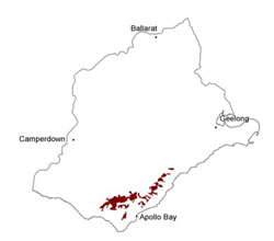 |
Soil-landform unit | Original unit ID | Unit description | Area (km2) |
| Mount Sabine L.S. | Rolling hills (top of the Otway Range) | 94 | |
| Beech Forest L.S. | Rolling hills (crest of the Otway Range) | 144 |