Victorian Resources Online (archived)
Soil and Landform Mapping in the Corangamite area
Back to: Soil/Landform Mapping in the Corangamite Region
This map is clickable. Select the Soil/Landform Mapping area marked in green you would like to see information for.
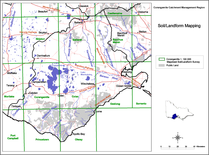
| Soil/Landform Mapping | |
| Skipton | Geelong |
| Ballarat | Sorrento |
| Castlemaine | Port Campbell |
| Bacchus Marsh | Mortlake |
| Corangamite | Princetown |
| Colac | Otway |