Victorian Resources Online (archived)
Cann River Mapsheet - Soil Pit Sites
Back to: East Gippsland Region - Mapsheet Grid
Cann River Mapsheet - Soil Pit Sites (PDF - 11320KB) The high resolution PDF file provided on this page can be viewed using the free Adobe PDF reader and this software can be installed from the Adobe website (external link). This PDF is provided with a high level of detail and with the intent that it should be printed at a high resolution.
This is a clickable map. Click soil pit on map for more detailed information.
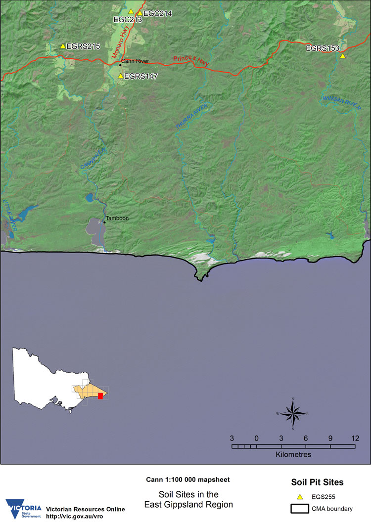
CANN RIVER Mapsheet - Soil Pit Sites | |||||
| EGC213 | EGC214 | EGRS147 | EGRS153 | EGRS215 | |