Victorian Resources Online (archived)
EGRS153
Location: 15 km south of Genoa, just south of Princes Highway
Australian Soil Classification: Bleached-Mottled, Magnesic, Brown KUROSOL
Map Unit: Waygara (Component 2)
Previous Site Name: 153
General Landscape Description: Undulating low hills
Site Description: Simple mid slope
Land Use: Native vegetation
Native Vegetation: Lowland forest
Geology: Tertiary sediments
Soil Profile Morphology:
| Surface soil | 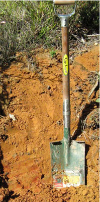 Red-brown sandy soil on Tertiary sediments. Photo taken near corner of Marlo-Cabbage Tree Road and Princes Highway | ||
A11 | 0 – 5 cm | Dark greyish brown (10YR4/2); loamy sand;pH 5.0; clear change to: | |
A12 | 5 – 15 cm | Light brownish grey (10YR6/2); loamy sand; pH 4.8; clear change to: | |
Subsoil | |||
B2 | 15 – 35 cm | Brown (7.5YR5/4), few coarse red mottles; sandy clay; pH 4.8; diffuse change to: | |
C | 35+ cm | Reddish yellow (7.5YR6/8), few coarse red mottles; coarse sandy clay; pH 4.7. |
Note: Common medium quartz sand pebbles throughout the profile
Chemical Analysis:
Horizon | Horizon Depth (cm) | pH (water) | Organic Carbon % | Exchangeable Aluminium ppm | Exchangeable Acididty meq/100g | Exchangeable Cations | |||
Ca | Mg | K | Na | ||||||
meq/100g | |||||||||
A1 | 0-5 | 5.0 | 2.13 | 45 | 11.2 | 0.5 | 0.4 | 0.3 | <0.1 |
A2 | 5-15 | 4.8 | 1.29 | 45 | 6.5 | <0.1 | 0.3 | 0.2 | 0.1 |
B1 | 15-35 | 4.8 | 0.47 | 100 | 7.8 | <0.1 | 0.3 | <0.1 | <0.1 |
B2 | 35-40 | 4.7 | 0.37 | 95 | 8.4 | <0.1 | 0.3 | <0.1 | <0.1 |
Profile Described By: David Rees, 1989.