Victorian Resources Online (archived)
Mansfield Map Key
- Land Use Determination - Upper Delatite (Mansfield) Map 1
- Land Use Determination - Upper Delatite (Mansfield) Map 2
- Land Use Determination - Upper Delatite (Mansfield) Map 3
- Land Use Determination - Upper Delatite (Mansfield) Map 4
- Land Use Determination - Upper Delatite (Mansfield) Map 5
- Land Use Determination - Upper Delatite (Mansfield) Map 6
- Land Use Determination - Upper Delatite (Mansfield) Map 7
- Land Use Determination - Upper Delatite (Mansfield) Map 8
- Land Use Determination - Upper Delatite (Mansfield) Map 9
- Land Use Determination - Upper Delatite (Mansfield) Map 10
- Land Use Determination - Upper Delatite (Mansfield) Map 11
- Land Use Determination - Upper Delatite (Mansfield) Map 12
- Land Use Determination - Upper Delatite (Mansfield) Map 13
- Land Use Determination - Upper Delatite (Mansfield) Map 14
- Land Use Determination - Upper Delatite (Mansfield) Map 15
- Land Use Determination - Upper Delatite (Mansfield) Map 16
- Land Use Determination - Upper Delatite (Mansfield) Map 17
- Land Use Determination - Upper Delatite (Mansfield) Map 18
- Land Use Determination - Upper Delatite (Mansfield) Map 19
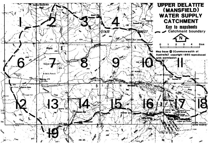
| Report on a Proposed Land Use Determination for the Upper Delatite (Mansfield) Water Supply Catchment - Key to map | |||
| Map 1 | Map 6 | Map 11 | Map 16 |
| Map 2 | Map 7 | Map 12 | Map 17 |
| Map 3 | Map 8 | Map 13 | Map 18 |
| Map 4 | Map 9 | Map 14 | Map 19 |
| Map 5 | Map 10 | Map 15 | |