Victorian Resources Online (archived)
Geomorphology
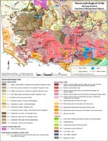
See also Victoria's Geomorphological Framework
The Glenelg Hopkins region of south-west Victoria covers approximately 2.5 million hectares. It extends from Ballarat in the east, to the South Australian border in the west, and from the upland towns of Ararat and Harrow down to the coast of western Bass Strait. |
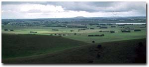 View of the volcanic plains landscape from Mt Noorat. | 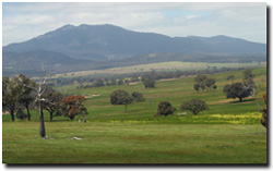 Mt Langi Ghiran. |
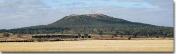 Mount Napier. | 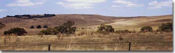 Merino Tablelands. |