Victorian Resources Online (archived)
Ararat Alluvial Land Unit
This land unit consists of the alluvial plains around Ararat and Moyston. The plains can sometimes be quite broad while others can be narrow, particularly in the steeper country. The soils tend to be Black or Grey Sodosols, Vertosols or Vertic Chromosols and are generally imperfectly drained and have very little slope.
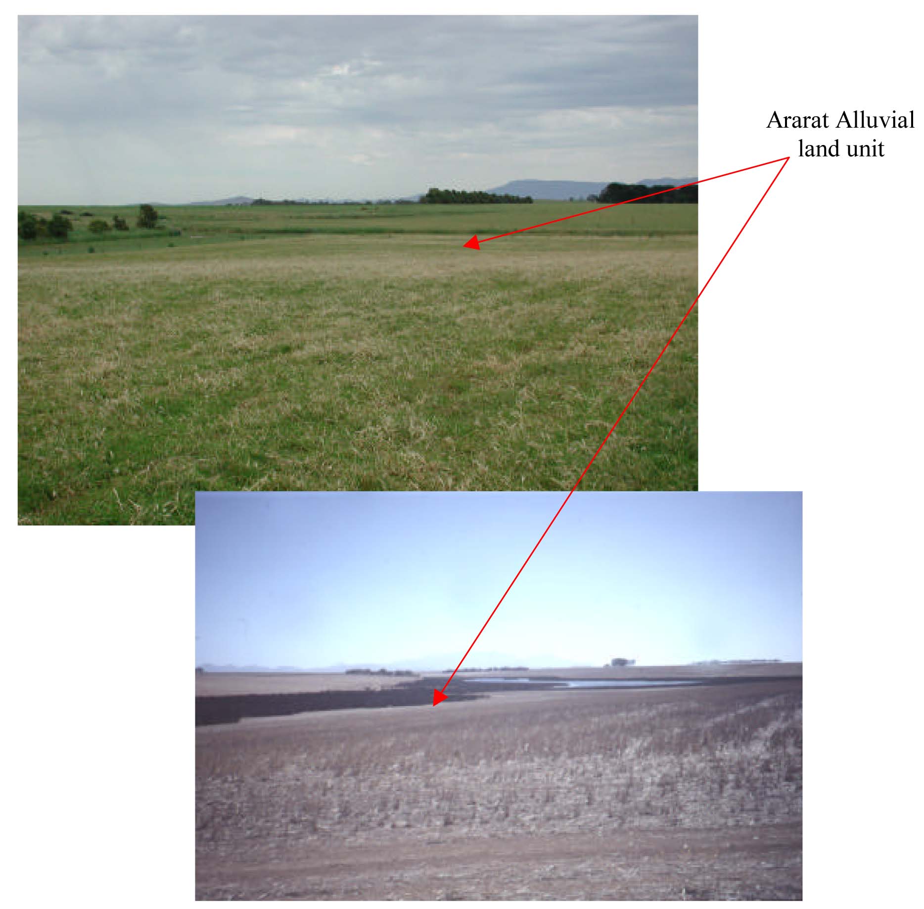
Plates 1 & 2 Alluvial sediments located in broad drainage depressions to the south
of Ararat Jacksons Creek (Plate 1) and Willaura at Boggy Creek (Plate 2).