Victorian Resources Online (archived)
Glenthompson Metasediments Land Unit
This land unit occurs mainly around Glenthompson, although there are scattered occurrences around Balmoral. The landscape is mainly undulating rises with some gentle colluvial slopes. The major soil type on the rises and low hills is a Chromosol, which is commonly sodic at depth. Co-dominant soil types on the gentler slopes are Brown Sodosols in association with Kurosols that can be sodic at depth. The lower slopes and drainage lines tend to be susceptible to gully erosion, due in part to the sodic nature of the subsoil.
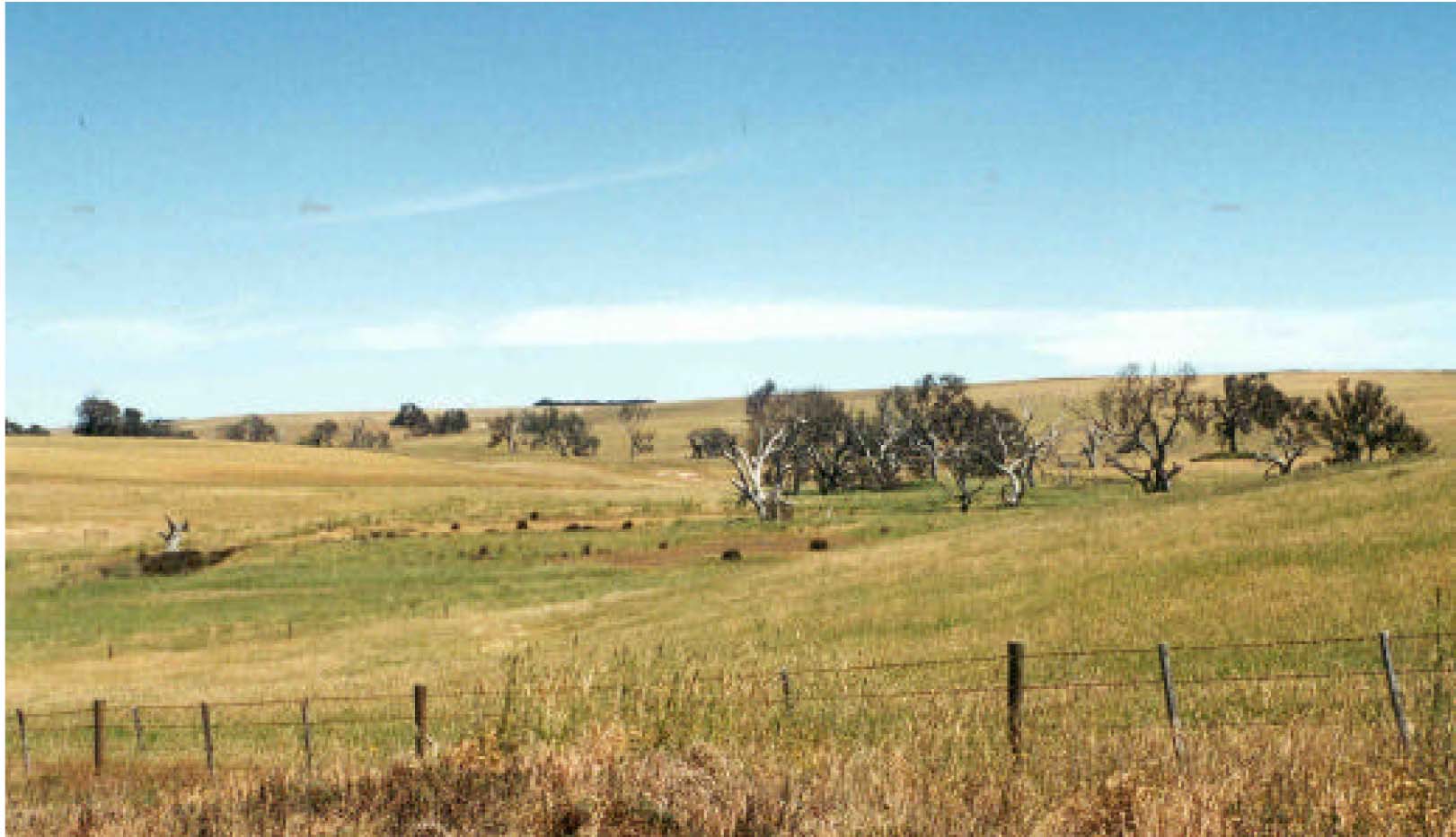
Plate 31 Rolling rises and low hills with defined drainage depressions located
south of Glenthompson on the Coleraine Road.