Victorian Resources Online (archived)
Grampians Alluvial Land Unit
This land unit consists of the alluvial plains around the Grampians. The soils are commonly poorly drained Black Sodosols in association with Bleached-Ferric Chromosols or Sodosols. Some areas experience months of inundation. These soils are commonly Hydrosols.
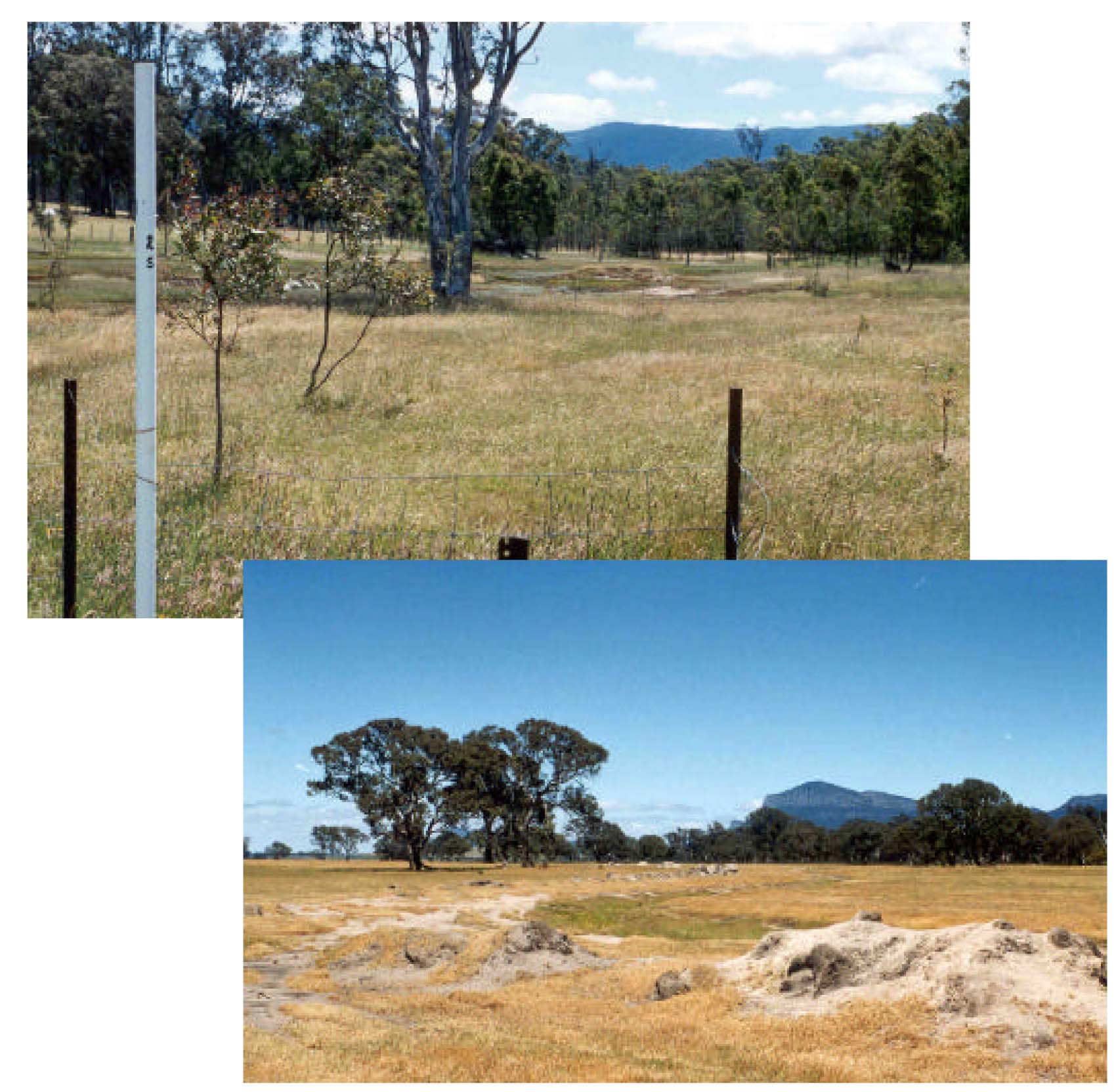
Plates 32 & 33 Alluvial sediments as derived from colluvial processes and deposits of the Grampains Mountain Range.
Plate 32 is from the Victoria Valley while Plate 33 is located east of Cavendish.