Victorian Resources Online (archived)
Mt Dundas Sandstone Land Unit
This land unit consists of the Silurian non-marine sandstones and comprises the Dundas Range with Mount Dundas being the highest peak at 466 metres. The topsoil is often sandy and extremely deep (Podosols) with organics dominant in the surface horizons. A bleached A2 horizon is evident at depth, often above a mottled and often sodic subsoil (Sodosols). Soils with a strong texture contrast (Kurosols) are also minor soil types within this land unit. The soil depth is variable, as is the depth of sand above the clay.
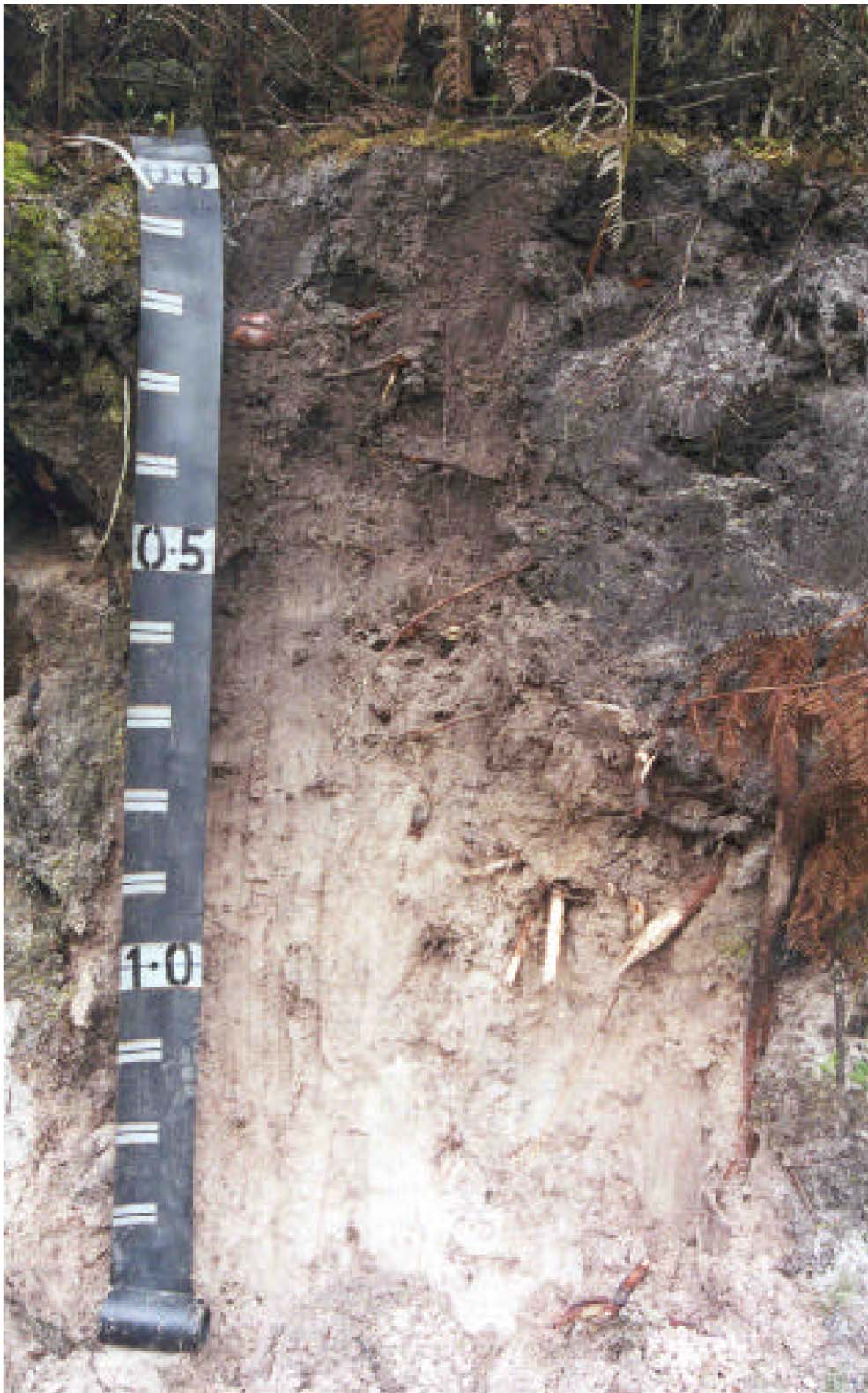
Plate 42 Sandy soil profile located near the summit of Mount Dundas.