Nareen Granites Land Unit
This land unit consists of the Ordovician granites and granodiorite around Nareen. The granite commonly outcrops on the slopes leading to drainage lines. It occurs in quite a mixed geological area, and is often found in association with Tertiary sediments (Dundas Sedimentary LU) and Jurassic trachyte (Dundas Trachyte LU). In some situations the land unit is quite small, and due to restrictions of scale, some areas may not be mapped. The major soil type on the rolling slopes is a Brown Chromosol, although Sodosols also occur. The significant feature of this land unit is the short rolling slopes, and this is the main characteristic that limits land use options. Many of these slopes could not be mapped at this scale.
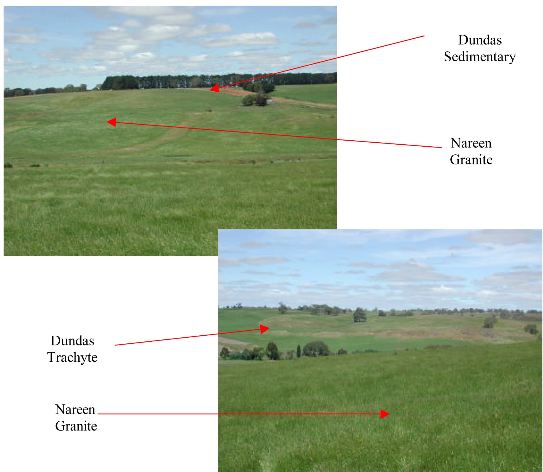
Plate 43 & 44 Trachyte and granite of the Dundas Tablelands as located on Nareen Station, Nareen.