Victorian Resources Online (archived)
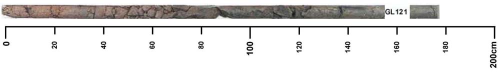
GL121
| Site: GL121 | Land Unit: Dundas Tillite |
| Aust. Soil Class.: Vertic, ?, Black CHROMOSOL (confidence level 3) | |
 | General Land Unit Description: This land unit consists of the Permian glacial, fluvial and lacustrine sediment outcrop in the valleys of the Dundas Tablelands. The landform is mainly dissected low hills and rises. The main soil types occurring on this unit are Black Sodosols or Black Vertosols. Grey Sodosols commonly occur on the lower slopes. Most soils become considerably more sodic at depth, which contributes to the imperfect drainage of the soil. This land unit is highly susceptible to water erosion, due mainly to the deep sodic soils. As the Tillite is a mixture of materials (not totally consolidated) the soils (particularly the grey soils) tend to be less stable when exposed. Land slips are common in this land unit. This site occurs below the Dundas tablelands. The topsoil may be the result of more recent accumulation. The subsoil cracks when dry. On the steeper slopes of the Dundas Tablelands, relic soil slumping is apparent and the slopes are still susceptible to land slips. |
Site Description:
| Geology: Permian tillite | Landform pattern: Rolling low hills |
| Position in landscape: Lower slope | Internal drainage: Imperfectly drained |
Key profile features:
- Strong texture contrast between topsoil and subsoil
- Subsoil cracks when dry
- Mottled subsoil
- Top of the subsoil dispersive when worked when wet
- Deeper subsoil strongly alkaline