Victorian Resources Online (archived)
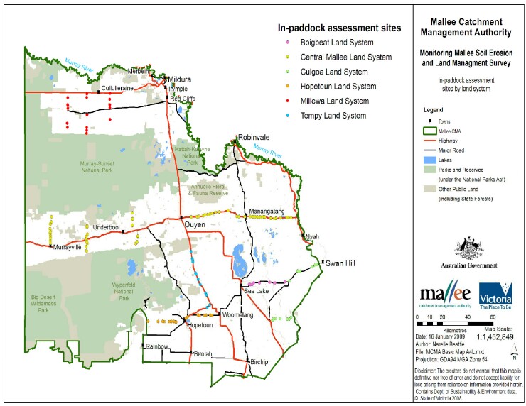
Map of 157 sites surveyed
Back to: Mallee soil erosion and land management survey late Summer 2012
Map of 157 sites were soil erosion monitoring is conducted (PDF 4147KB)
The high resolution PDF file provided on this page can be viewed using the free Adobe PDF reader and this software can be installed from the Adobe website (external link). This PDF is provided with a high level of detail and with the intent that it should be printed at a high resolution.