Victorian Resources Online (archived)
Soil-Landform Units - Low Hills
Flood Plain | Alluvial | Colluvial | Low Hills | Hills | Mountains | Hill Plateaux | Mountain Plateaux | Back to Soil/Landform Survey
To view the information PDF requires the use of a PDF reader. This can be installed for free from the Adobe website (external link).
Unit Description | Unit Type | Typical Soil Profile Information (for components of each unit) | |
Low Hills | |||
| LHG1 | (PDF 111KB) | Low Hills on Granite - Type 1 (Benambra North / Limestone Road)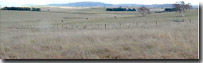 | Components 1, 2 (PDF 112KB) (PDF 61KB) |
| LHG2 | (PDF 112KB) | Low Hills on Granite - Type 2 (Shelley / Koetong / Yackandandah)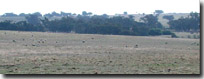 | Components 1, 2, 3 (PDF 143KB) (PDF 114KB) (PDF 197KB) |
| LHSy1 | (PDF 97KB) | Low Hills on Ordovician Sediments - Type 1 (Myrrhee / Carboor)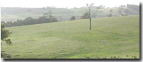 | Components 1, 2, 3 (PDF 125KB) (PDF 85KB) (PDF 98KB) |
| LHSy2 | (PDF 106KB) | Low Hills on Permian Sediments - Type 2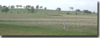 | Components 1, 2, 3 (PDF 41KB) (PDF 102KB) (PDF 40KB) |
| LHSy3 | (PDF 117KB) | Low Hills Carboniferous sediments - Type 3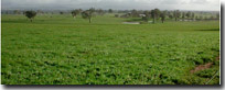 | Components 1, 2, 3 (PDF 113KB) (PDF 149KB) (PDF 45KB) |
| LHSy4 | (PDF 119KB) | Low hills on Ordovician sediments - Type 4 (Northern Foot-slopes)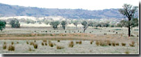 | Components 1, 2, 3 (PDF 145KB) (PDF 125KB) (PDF 96KB) |