Victorian Resources Online (archived)
EGW51
Location: Hinnomunjie
Australian Soil Classification: Red DERMOSOL (stony)
Map Unit: Hinnomunjie (Crests and upper slopes, Component 1)
Previous Site Name: EG51
General Landscape Description: Rolling low hills
Site description: Upper slope, gradient unspecified
Land Use: Grazing on annual pasture
Native Vegetation: Montane dry woodland
Geology: Ordovician metamorphosed sediments
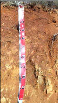 The soils on the crests and upper slopes generally have rock close to the surface. |