Victorian Resources Online (archived)
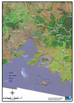
Port Phillip and Westernport
Welcome to Victorian Resources Online's Port Phillip and Westernport section. This is your gateway to a wide range of resource information for the Port Phillip and Westernport catchment management region.
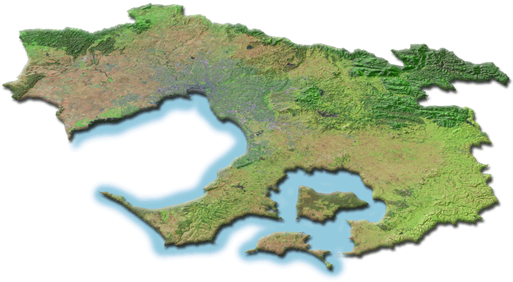
The Port Phillip and Westernport region covers some 12,785 square kilometres - representing about 5.6 % of Victoria's total area.