Victorian Resources Online (archived)
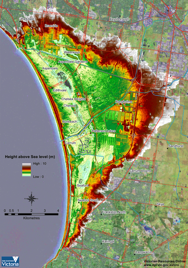
1 metre digital elevation model (DEM) of the Frankston to Mordialloc area showing parallel ridges at Seaford
Download a high resolution PDF version of this document: 1 metre digital elevation model (DEM) of the Frankston to Mordialloc area (PDF - 2 MB)
To view the information PDF requires the use of a PDF reader. This can be installed for free from the Adobe website (external link).