Primary Production Landscapes of Victoria - Southern Plains
Primary Production Landscapes Home
Farm Forestry farming systems | Grazing farming systems | Dariy farming systems | Cropping farming systems
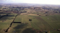
| Land use Covering 51 local government areas and 6 catchment management authority regions, the major land use of the Southern Plains is production from dryland agriculture cropping, grazing and dairy) and forestry (77%). New blue gum forestry plantings are estimated to be 10,000 – 14,000 hectares per year. This has moderated since 8-10 years ago. Irrigated agriculture (8%) and intensive uses including horticulture and animal production (36% of Victoria’s land use) occur also. Rainfall varies from 450 mm west of Melbourne to 1100 mm at the foothills of the Southern Uplands. |

| Primary Production Landscapes Victorian Volcanic Plains Volcanic cones, lava flows and ash deposits are used mainly for grazing and cropping. Rainfall is higher and evaporation less than plains north of the divide. Dundas & Merino Tablelands Otway Plains Millicent Coast Eastern Plains | 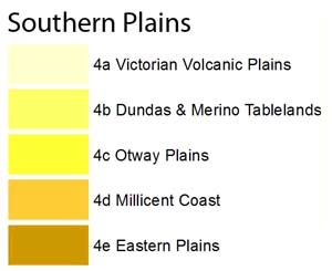 |
 |  |