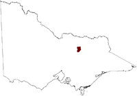
Salinity Province 78, Molyullah Tatong
|
|
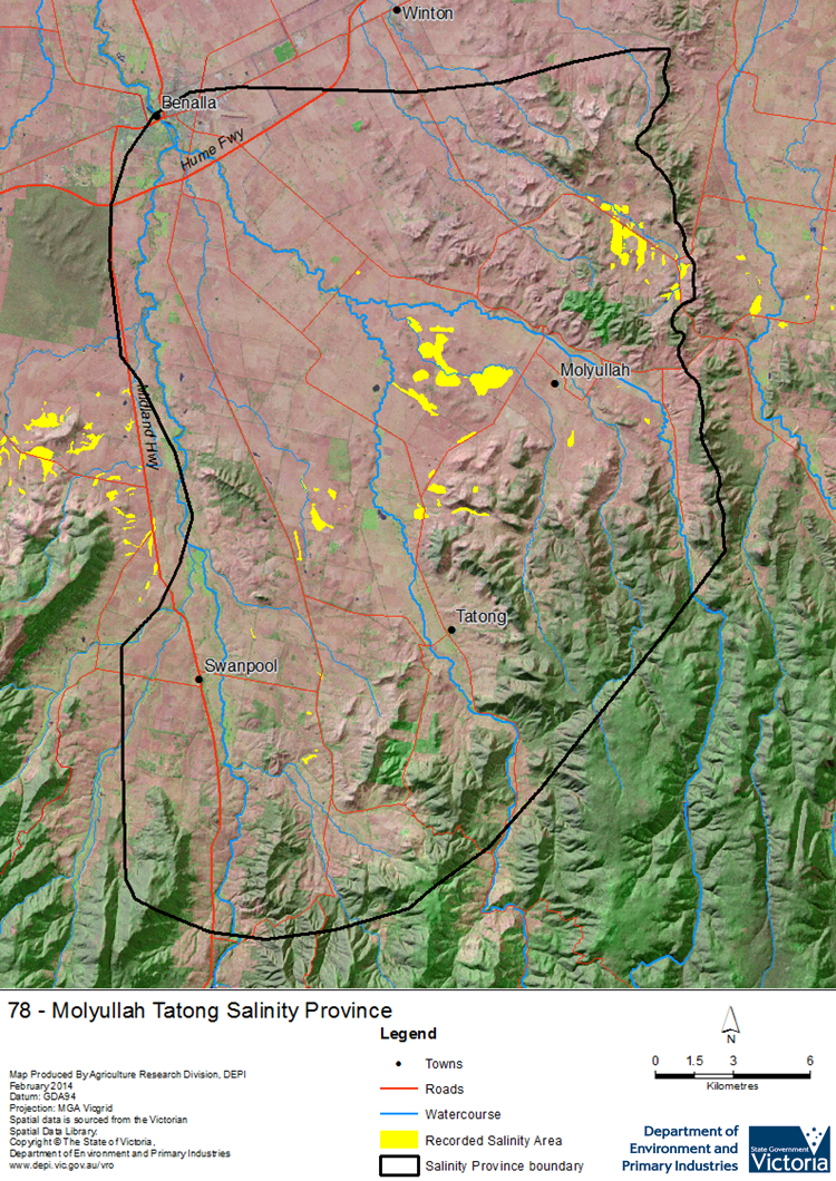
 Dryland salinity occurrence in the Molyullah_Tatong Salinity Province is mostly found in the lowest parts of the valleys and drainage lines. This is in contrast to salinity in the neighbouring ‘Warrenbayne_Boho’ province, which tends to be more ‘break-of-slope’ type occurrence. Local and intermediate scale Groundwater Flow Systems in porous valley edge colluvium and valley alluvial sediments convey groundwater and salts to valley floor locations, where possible structural geologic controls (faults) or low permeability sediments restrict the deeper movement of groundwater, leading to the development of discharge areas.
 Province Attributes
| Catchment Management Region: | GOULBURN BROKEN |
| Priority Status: | High |
| Province Area: | 62,940 ha |
| Recorded Soil Salinity Area 1: | 737 ha |
| Dominant Surface Geology Type: | Sedimentary |
| Influence of Geological Structure on Salinity Occurrence/s: | Probable |
| Relevant Geomorphological Mapping Units (GMUs): | 1.X, 4.3 |
| Predominant Groundwater Flow Systems (GFSs): | Local/Intermediate |
| Relevant Irrigation Areas: | N/A |
Molyullah Tatong Salinity Province Map
Links to further reading and material related to the Goulburn Broken Salinity Province
For further information relating to groundwater levels and salinities in this Province please see: Visualising Victoria's Groundwater (VVG)
1 Please Note: The ‘Recorded Soil Salinity Area’ indicated in the Salinity Province Attribute Table, comprises the total geographic area that has been mapped as having, or showing symptoms of, dryland soil salinity at some time (past or present). As dryland salinity occurrence in the Victorian landscape exhibits many different levels of severity and can change due to climate, landuse and vegetation, previously mapped areas may no longer be showing symptoms. In addition, as not all parts of the State have been mapped, or mapped in the same way, the mapping may not have captured some occurrences.
The soil salinity mapping used to calculate this ‘area’ does not cover irrigation regions. In irrigation regions, depth to watertable and watertable salinity mapping has been used to convey the threat of high watertables on soil waterlogging and/or soil salinisation and these areas are not included in this ‘area‘ calculation.
Please contact the Department, your Catchment Management Authority or your rural water provider for more information about salinity in your location.