Victorian Resources Online (archived)
Morwell (Mr)
|
Geology | 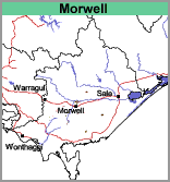 |
Land Use
Forestry, mostly plantation forestry and mixed grazing. These soils are rarely used for dairying.
Soils
The description that follows is based on that by Poutsma and Turvey (1979) and includes the more sandy and gritty soils on the Late Tertiary sediments.
The surface soils are typically grey to dark brownish grey gritty or coarse sandy loam to loamy sand, about 10 to 20 cm deep, overlying a bleached light brownish grey to greyish brown similarly textured subsoil. With depth the soil becomes mottled with yellowish brown and is generally compact, variably cemented and hard to auger when dry. At about 80 cm to 1 metre depth, a coarse gritty and irregularly compacted clayey sand to sandy clay appears with colours commonly being mottled grey and yellowish brown.
| Morwell with Boolarra (Mr/Bo) This mapping unit describes areas comprising mostly the Morwell mapping unit with some areas of the Boolarra unit. The percentage of the dominant mapping unit is at least 70%. | 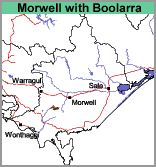 |