Victorian Resources Online (archived)
Tidal Flat (td)
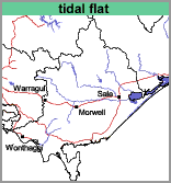 | Geology Recent marine sediments. Landform Marine plain. Soils The soils of this mapping unit are quite variable and range from black to very dark grey highly organic clays to fine sands. As they are subject to tidal influences and are mostly saturated they would be termed Intertidal Hydrosols using the Australian Soil Classification. Land Use This mapping unit should not be used for agriculture. |