Victorian Resources Online (archived)
Moormurng (Mm)
|
Geology | 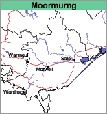 | 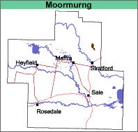 |
Level plain.
Original Vegetation
The original vegetation was a grassy open forest of Eucalyptus tereticornis. It is now largely cleared.
Previous Maps and Reports
This map unit was identified and named by Ward (1977). It is included within the Redgum 2 Land System as described by Aldrick et al. (1992).
Soils
There is only one occurrence of this map unit on this map. The surface soils are generally dark greyish brown gritty sandy loams. They have a bleached sub-surface (typically pale brown to pale brownish grey) of similarly textured material abruptly (at about 20 to 30 cm) overlying yellowish brown medium clays. The soils are most likely to be classified as Brown or Yellow Sodosols using the Australian Soil Classification.
Chemical and Physical Analysis
No analyses have been carried out on any of these soils. They are believed to be similar in chemical properties to the soils of the Briagolong map unit.
Land Use
These soils are cleared and used for grazing. During wetter periods of the year, the surface soils may become saturated as the sodic subsoil clay restricts the downward movement of water.