Victorian Resources Online (archived)
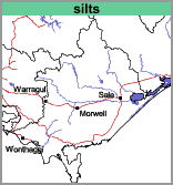
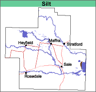
Silts (silts)
| This map unit comprises undifferentiated alluvium and lake sediments, mainly silt and fine sand with some clay, deposited during the Holocene epoch (less than 10 000 years ago).
Landform |
 |  |
These vary according to their position in the landscape, with the more silty and clayey soils being lower and the sandy soils higher. All the soils lack texture contrast.
Chemical and Physical Analysis
No analyses have been carried out on these soils.
Land Use
Uncleared or grazing. The soils are not suited to intensive agriculture.