Victorian Resources Online (archived)
Soil-Landform Units - Flood Plain
Flood Plain | Alluvial | Colluvial | Low Hills | Hills | Mountains | Hill Plateaux | Mountain Plateaux | Back to Soil/Landform Survey
To view the information PDF requires the use of a PDF reader. This can be installed for free from the Adobe website (external link).
Unit Description | Unit Type | Typical Soil Profile Information (for components of each unit) | ||
| Flood Plain | Components 1, 2 | |||
| FLP1 | (PDF 160KB) | Flood Plain - Type 1 (Murray River)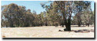 | (PDF 132KB) | (PDF 136KB) |
| FLP2 | (PDF 124KB) | Flood Plain - Type 2 (Ovens River)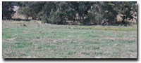 | Components 1, 2, 3, 4 | |
(PDF 155KB) | (PDF 113KB) | |||
(PDF 138KB) | (PDF 186KB) | |||
| FLP3 | (PDF 124KB) | Flood Plain - Type 3 (Upper River Valleys)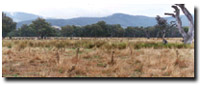 | Components 1, 2, 3 | |
(PDF 156KB) | (PDF 142KB) | |||
(PDF 142KB) | ||||