Victorian Resources Online (archived)
Soil-Landform Units - Mountain Plateaux
Flood Plain | Alluvial | Colluvial | Low Hills | Hills | Mountains | Hill Plateaux | Mountain Plateaux | Back to Soil/Landform Survey
To view the information PDF requires the use of a PDF reader. This can be installed for free from the Adobe website (external link).
Unit Description | Unit Type | Typical Soil Profile Information (for components of each unit) | |
| Mountain Plateaux | |||
| PMB | (PDF 96KB) | Plateaux associated with mountains (<1220 m, Tertiary Basalt)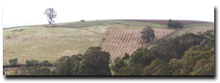 | Components 1, 2 (PDF 88KB) (PDF 96KB) |
| PMSs | (PDF 87KB) | Plateaux on schist mountains (High Plains) | Components 1, 2, 3 (PDF 88KB) (PDF 124KB) (PDF 81KB) |
| PMSy | (PDF 103KB) | Plateaux associated with Carboniferous mountains (<1220 m, Wabonga)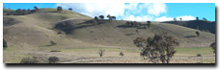 | Components 1, 2, 3 (PDF 100KB) (PDF 97KB) (PDF 99KB) |
| PMV | (PDF 93KB) | Plateaux on Devonian rhyolite and rhyodacite mountains (<1220m, Toombullup)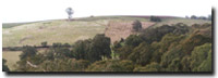 | Components 1, 2 (PDF 106KB) (PDF 113KB) |