Victorian Resources Online (archived)
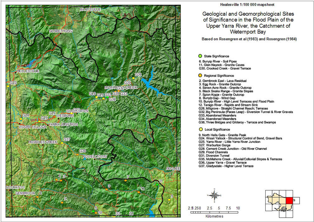
Sites of Geological and Geomorphological Significance - Healesville Mapsheet
Back to: Port Phillip & Westernport - Sites of Geological and Geomorphological Significance
Back to: Port Phillip & Westernport - Sites of Geological and Geomorphological Significance