Victorian Resources Online (archived)
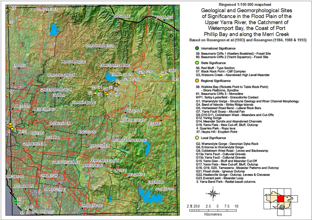
Sites of Geological and Geomorphological Significance - Ringwood Mapsheet
Back to: Port Phillip & Westernport - Sites of Geological and Geomorphological Significance
This is a clickable map. Click on Site in Legend for more information.