Definition and Uses
The initial phase of any susceptibility hazard or even risk mapping project is the compilation of available data sets which may have an influence on the occurrence of the hazards under study. Some of these relationships are immediately clear, i.e. geology and slopes for landslide, while others become apparent and/or their significance is only understood, through detailed assessment and calibration during the modelling process.
The CCMA has sponsored the collection and collation of a diverse range of data sets through various ongoing projects and a long-standing relationship with the Geology Department at the University of Ballarat. In particular Mr. Peter Dahlhaus (Senior Geology Lecturer and researcher) has served as a custodian of numerous data sets through his association with numerous CCMA funded projects. Much of the assembled data used in the CSHS project has been supplied through the University of Ballarat or through Mr Dahlhaus’ consulting company, Dahlhaus Environmental Geology (DEG).
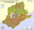
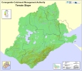
Initially 122 data sets were identified and compiled at the start of the CSHS project with a further series of 2nd derivative data sets produced from a digital elevation model (DEM) becoming available during the later stages of the project.
Data sets of particular significance which have been used in the susceptibility modelling process to date include:
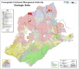
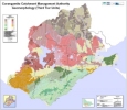
• Geological units including geologic structure
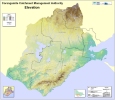
• Topographic data
• Geomorphic units
• Soil landform units
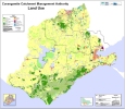
• Land use
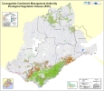
• Vegetation
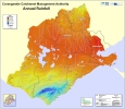
• Rainfall
• Waterways
Further detailed information on these data sets and the modelling process can be found in the following report:
“Landslide and Erosion Susceptibility Mapping in the CCMA Region”.
Report No 306/01/06. Date 30th June 2006.
Prepared by A.S. Miner Geotechnical.
Click on map below
