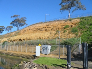
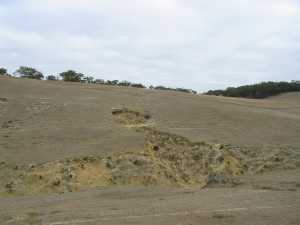
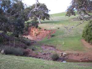
Soil Degradation Processes
Mass Wasting or Landslides
Soil Erosion
Susceptibility, Hazard and Risk
Soil Degradation Processes
Soil degradation occurs where both natural and human activities cause the soil to become less vigorous or less healthy. The ultimate degradation is the removal or loss of its physical components. Whilst many forms of soil degradation exists such as acidification, salinity, organic depletion, soil structure decline or nutrient depletion, this study specifically deals with erosion (in its many forms) and landslides. Erosion and landslides cause a reduction in the mass and volume of a soil and ultimately lead to modification and/or reduction in the physical extent of the soil ecosystem.
The Corangamite Catchment Management Authority (CCMA) Region covers a wide range of land systems. The geological and geomorphological development of these landscapes has resulted in the development of a variety of soils and a diverse range of landscapes.
Some of these landscapes and soils are susceptible to land degradation. A breakdown of land degradation issues has been adopted in this study as follows:
• Mass Wasting or Landslides
• Sheet and Rill Erosion
• Gully and Tunnel Erosion
Soil degradation processes can be further subdivided into two main groups, natural and anthropogenic. The natural processes are generally episodic and may include climatic, seismic and hydrodynamic including both oceanic and rivers and/or stream sources. The anthropogenic processes can include land use, agricultural activities and the engineered landscape associated with infrastructure, urban development, construction sites, roads and transport arterials.
Landslide terminology adopted in this study is based on the information contained in the following document:
“Practice Note Guidelines for Landslide Risk Management 2007”
Australian Geomechanics. Volume 42, No.1, March 2007. Produced by Australian Geomechanics Society Landslide Taskforce, Landslide Practice Note Working Group.
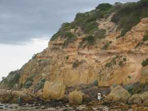
The term “landslide” denotes the movement of a mass of rock debris or earth down a slope (AGS 2000). The term includes slides, topples and rockfall but does not include ground subsidence or collapse.
Classification of landslides is based on a two-term descriptor; the first term describing material type prior to failure and the second term describing the type of movement (AGS 2007, after Varnes 1978). Material types include rock, soil, earth and debris. The five types of kinematicaly distinct movement are: fall, topple, slide, spread and flow.
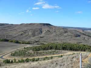
(see figure at right)
Click for larger image
Top of Page
Soil Erosion
Soil erosion involves the dislodgement of soil particles, their removal, transport away and eventual deposition in a location remote from the source. Susceptibility to erosion and the rate at which it occurs depends on many factors including land use, geology, geomorphology, climate, soil texture, soil structure, nature and density of vegetation and land management practices. For the purposes of this study, the various forms of soil erosion can be described as follows:
