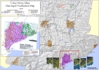
Mapping Processes
The Corangamite Soil Health Strategy (CSHS) has adopted a relative risk-to-asset based approach to help identify priority areas where different soil threatening processes pose the greatest risk to highly valued assets. Information must be systematically assembled to allow this risk-based approach to be undertaken and the compilation of factor data sets/maps, inventory maps and the susceptibility maps detailed on this erosion and landslide resource are key elements in this process.
The initial phase of any susceptibility hazard or even risk mapping project is the compilation of available data sets which may have an influence on the occurrence of the hazards under study.
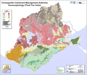
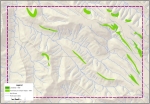
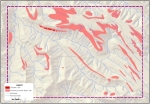
These maps primarily provide information on the spatial location of erosion and landslides within the CCMA region.
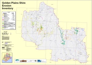
Involves the classification, spatial distribution and area of existing and potential hazards within the CCMA region.
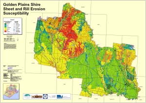
Provides information on the rate at which erosion and landslides were appearing or disappearing in the landscape throughout selected sites in the CCMA region.
The aim of these studies was to provide more detailed information on the extent of the hazard, how it was initially assessed and what remedial actions were either undertaken or proposed.

Some of the later data capture for the current erosion and landslide inventory has been undertaken using stereo- interpretation of aerial photos within the CCMA region.
