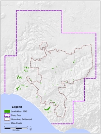
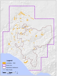
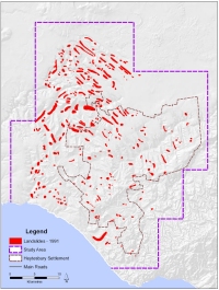
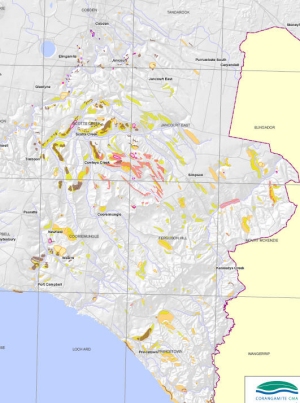
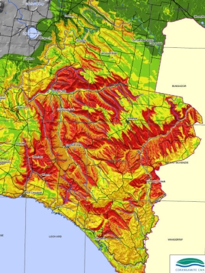
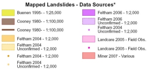
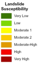
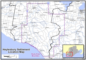
| Location Map | |||
 |
|||
| Click on image to enlarge | |||
| Analysis | |||
| Landslide Study Date | Count | Area (ha) |
% change from 1946 | % settlement area | % study area |
| 1946 | 53 | 725.10 | 0.00% | 1.59% | 0.51% |
| 1982 | 105 | 2,358.72 | 325.30% | 5.18% | 1.66% |
| 1991 | 301 | 6,393.75 | 881.77% | 14.05% | 4.50% |
| Settlement Area | 45,495.69 | ||||
| Total Study Area | 141,935.19 | ||||
