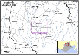
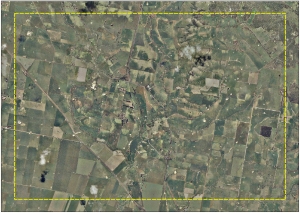
| Location Map | Aerial Map | ||
 |
 |
||
| Click on image to enlarge | Click on image to enlarge | ||
| Analysis | |||
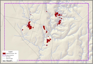
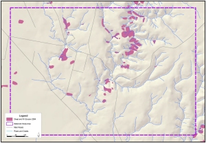
| Sheet and Rill Erosion Trend Analysis | |||
| Erosion Study Date | Count (polygons) |
Area (ha) | % change from 1970 | % study area |
| 1970 | 42 | 77.05 | 0.00% | 1.03% |
| 1981 | 48 | 236.08 | 206.40% | 3.16% |
| 1990 | 32 | 106.67 | 38.44% | 1.43% |
| 2004 | 59 | 200.61 | 106.36% | 2.36% |
| Total Study Area | 7,466.51 | |||
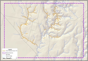
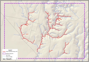
| Gully and Stream Bank Erosion Trend Analysis | |||||||||||||||||||||||||||||||||||||||
|
|||||||||||||||||||||||||||||||||||||||
| Top of Page | |||||||||||||||||||||||||||||||||||||||
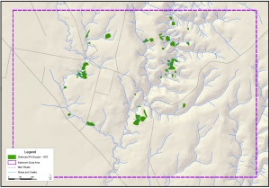
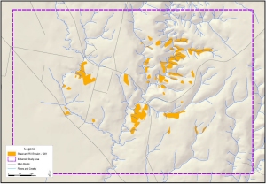
| Sheet-Rill Erosion Trend Maps | |||||||||||||||||||||||||||||||||||||||
 |
 |
||||||||||||||||||||||||||||||||||||||
| Illabarook 1970 (Feltham
2005) Click on image to enlarge |
Illabarook 1981 (Feltham
2005) Click on image to enlarge |
||||||||||||||||||||||||||||||||||||||
 |
 |
||||||||||||||||||||||||||||||||||||||
| Illabarook 1990 (Feltham
2005) Click on image to enlarge |
Illabarook 2004 (Feltham
2005) Click on image to enlarge |
||||||||||||||||||||||||||||||||||||||
| Gully and Streambank Erosion Trend Maps | |||||||||||||||||||||||||||||||||||||||
 |
 |
||||||||||||||||||||||||||||||||||||||
| Illabarook 1970 (Feltham
2005) Click on image to enlarge |
Illabarook 1981 (Feltham
2005) Click on image to enlarge |
||||||||||||||||||||||||||||||||||||||
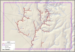 |
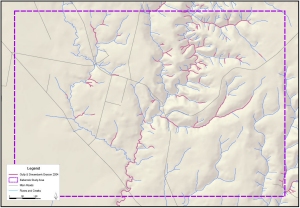 |
||||||||||||||||||||||||||||||||||||||
| Illabarook 1990 (Feltham
2005) Click on image to enlarge |
Illabarook 2004 (Feltham
2005) Click on image to enlarge |
||||||||||||||||||||||||||||||||||||||
| Top of Page | |||||||||||||||||||||||||||||||||||||||
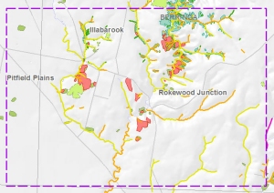
| Inventory and Susceptibility Comparison Maps for Illabarook Study Area | |||||||||||||||||||||||||||||||||||||||
 |
 |
||||||||||||||||||||||||||||||||||||||
| Erosion Inventory
Comparison (Click on image to enlarge) |
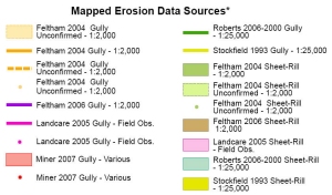
Erosion Inventory Legend | ||||||||||||||||||||||||||||||||||||||
 |
 |
||||||||||||||||||||||||||||||||||||||
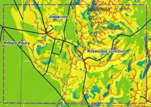
| Gully Erosion
Susceptibility
Comparison (Click on image to enlarge) |
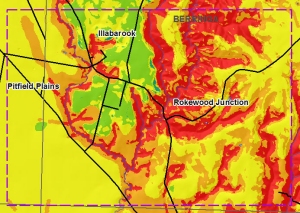
Sheet and
Rill Erosion Susceptibility
Comparison (Click on image to enlarge) |
||||||||||||||||||||||||||||||||||||||
 |
 |
||||||||||||||||||||||||||||||||||||||
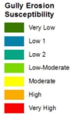
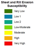
| Gully Erosion Susceptibility Legend | Sheet and Rill Erosion Susceptibility Legend | ||||||||||||||||||||||||||||||||||||||