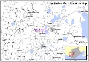
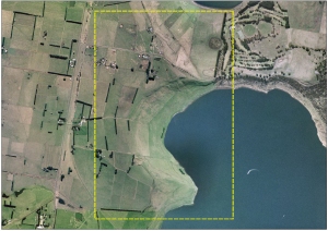
| Location Map | Aerial Map 2003 | ||
 |
 |
||
| Click on image to enlarge | Click on image to enlarge | ||
Erosion and Landslide Resources in the
CCMA Region
Home | Introduction |
Definitions | User Guide |
Maps
& Reports| Disclaimer
|
Lake Bullen Merri - Historical Landslide Trends Location and Aerial Maps Landslide Trend Maps Susceptibility Comparison Map Other Landslide Trend Areas |
| Location Map | Aerial Map 2003 | ||
 |
 |
||
| Click on image to enlarge | Click on image to enlarge | ||
Top of Page
Produced by AS Miner Geotechnical
Copyright 2007