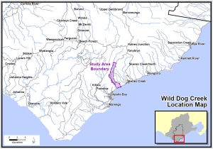
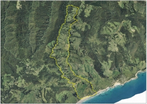
| Location Map | Aerial Map 2004 | ||
 |
 |
||
| Click on image to enlarge | Click on image to enlarge | ||
| Analysis | |||
| Landslide Study Date | Count | Area (ha) | % change | % change | % change | % study area |
| from 1946 | from 1952 | from 1982 | ||||
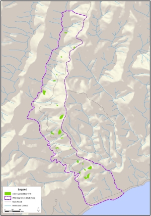
| 1946 | 22 | 9.79 | 0.00 | -69.41 | 7.35 | 1.75% |
| 1952 | 33 | 32.00 | 226.86 | 0.00 | 250.88 | 5.72% |
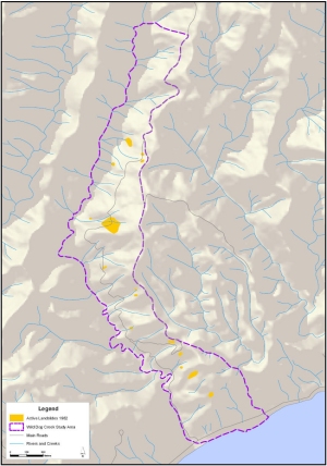
| 1982 | 15 | 9.12 | -6.84 | -71.50 | 0.00 | 1.63% |
| 2004 | 7 | 5.56 | -43.21 | -82.63 | -39.04 | 0.99% |
| Total Study Area | 559.42 | |||||
| Landslide Trend Maps | |||
 |
 |
||
| Wild Dog Creek 1946
(Roberts 2006) Click on image to enlarge |
Wild Dog Creek 1952
(Roberts 2006) Click on image to enlarge |
||
 |
 |
||
| Wild Dog Creek 1982
(Wood 1993) Click on image to enlarge |
Wild Dog Creek 2004
(Roberts 2006) Click on image to enlarge |
||
| Top of Page | |||
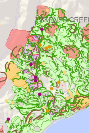
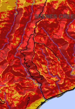
| Inventory and Susceptibility Comparison Maps for Wild Dog Creek Study Area | |||
 |
 |
||
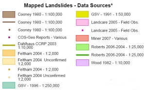
| Landslide Inventory Comparison | Landslide Inventory Comparison | ||
 |
 |
||
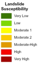
| Landslide Susceptibility Legend | Landslide Susceptibility Legend | ||